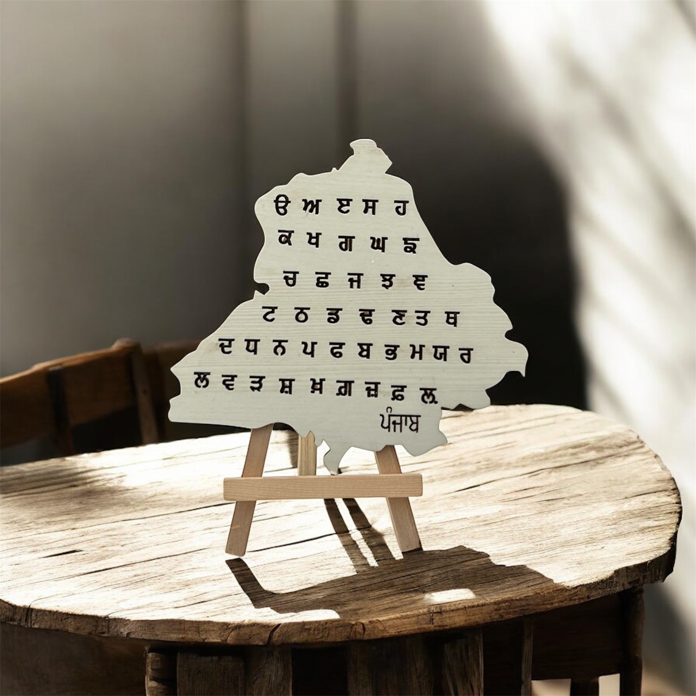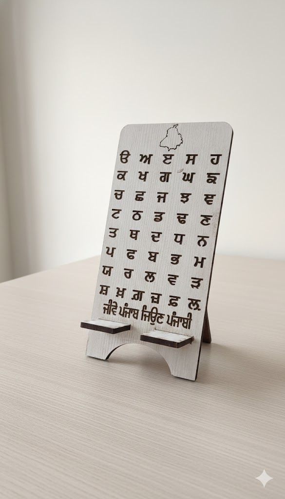
Punjab District Map 6 inch
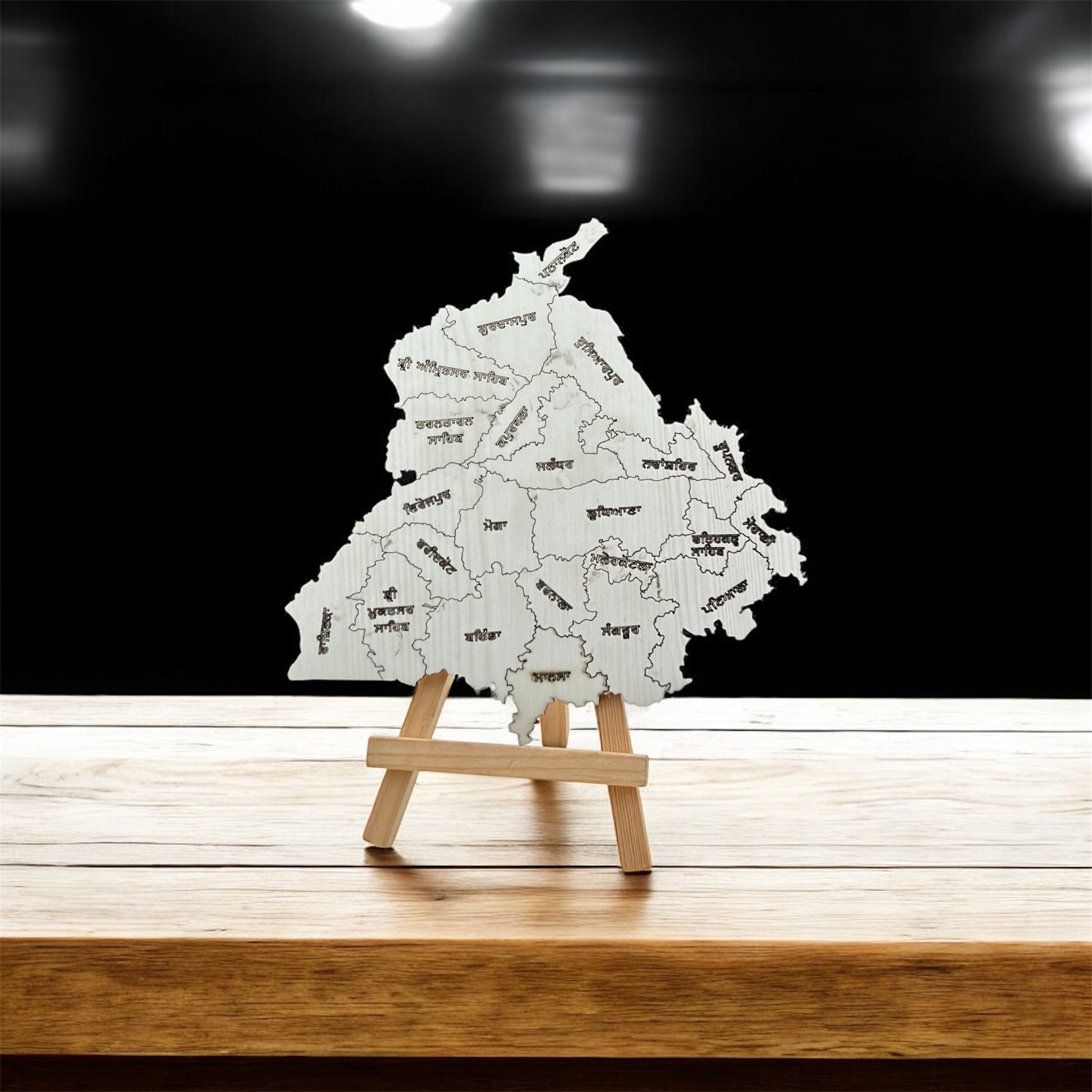
₹ 150 Offer Price - 150A Punjab districts map clearly shows all the 23 districts of the state.
- Item In Stock:
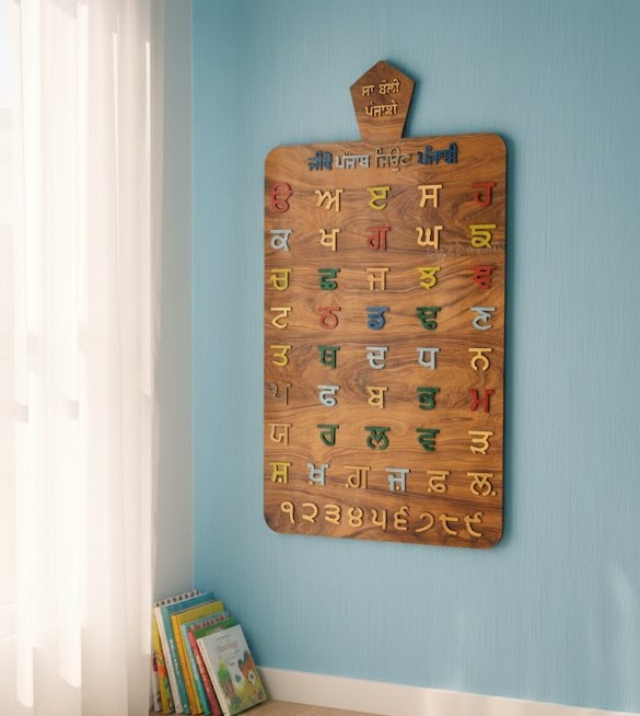
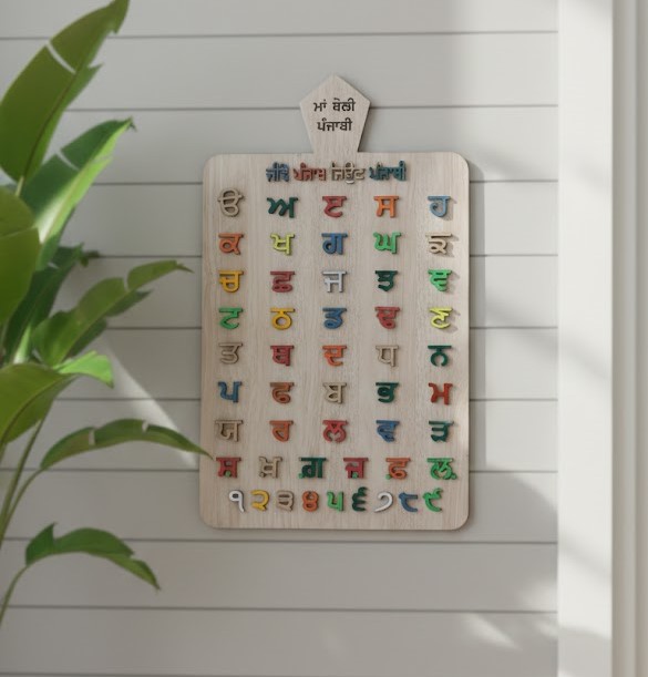
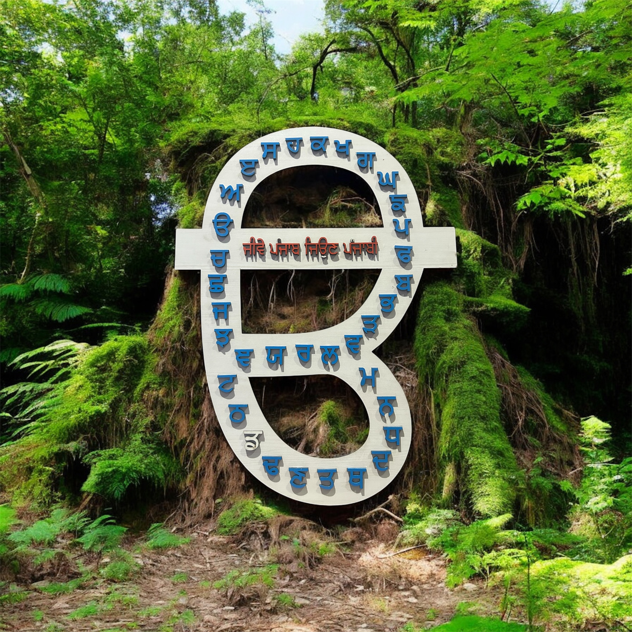
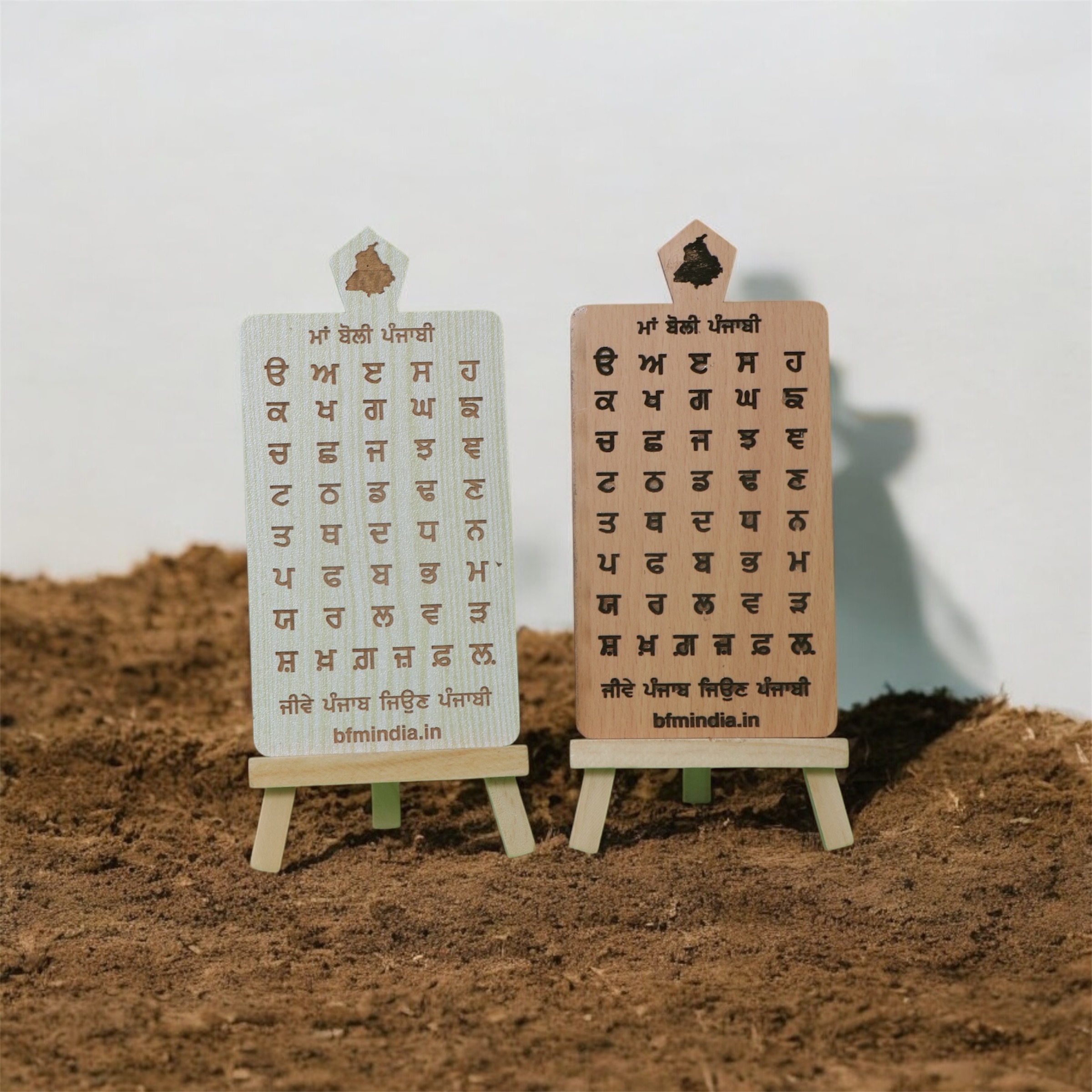
- Category: Gurmukhi Punjabi Maa Boli
- Weight: 50 gram
Product Description

The Punjab district map displays 23 districts within the Northwestern Indian state, covering an area of 50,362 sq km, bordered by Pakistan (west), Jammu & Kashmir (north), Himachal Pradesh (northeast), and Haryana/Rajasthan (south). The map highlights three major geographical regions—Majha, Doaba, and Malwa—with Firozpur/Fazilka often cited as a large western region, and Ludhiana as the most populous district
How To Use
decor your house, office table, children study table